Our Services
Gas and Water Pipeline, Well Site Engineering and Permitting
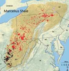
Miltech's pipeline permitting work includes pipeline routing, hydraulic design, layout and permitting for small projects to larger projects (up to 10 miles long) for major gas and coal companies.
PA and WV Permitting Services Available.

Our services include:
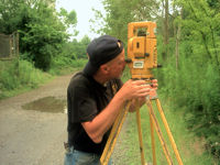
- Surveying and Mapping
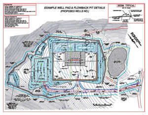
- Well Site Layout, Grading and Earthwork
- Pits / Impoundments Permitting
- Erosion and Sedimentation Control (E&S) Design
- Post-Construction Storm Water Management (PCSM) Design and Permitting
- Wetland and Stream Delineation and Encroachments Permitting
- Threatened and Endangered Species Surveys
- Spill Prevention, Control and Countermeasure (SPCC) plans
- Air Permitting
- ESCGP-2 through PADEP Oil and Gas
- NPDES Permits through PADEP Bureau of Watershed Management / County Conservation Districts
- Water Encroachment / Chapter 105 General Permits through PADEP Bureau of Watershed Management